


Featured amenities
 River Access
 Fire Pit
About Cripple Creek Campground
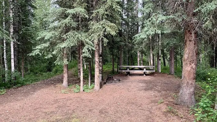
Cripple Creek Campground- Located at milepost 60 o f the Steese Highway, Cripple Creek Campground has 12 first come first served universal design campsites, as well as 6 walk-in campsites. The campground also has a riverside day use area with fishing access along the Chatanika River. Winding through tall white spruce trees along the river between the day use area and the campground is a short interpretive trail for visitors. A class I-II float trip to the Upper Chatanika State Recreation Site at milepost 39 is approximately 25 miles (40 km) long. Occasional low water and log jams may require some boat dragging or portaging.The campground is maintained during the summer season, June through mid-September. The campground has a hand pump well for non-potable water, trash cans, and outhouse style toilets. Each campsite has a parking area, picnic tables, and fire rings.Fees- $12 per night per site (sites 1-12) on a first come basis. $6 per night per walk in site (Walk-in-sites T1-T-6) on a first come basis.Directions- Blacktop highway accessible. Campground is at mile 60 on the Steese Highway, northeast of Fairbanks, Alaska.
Activities & Attractions
Nearby

Boating
Spring
Summer
Fall

Fishing
Year-round

Hiking
Year-round

Paddling
Spring
Summer
Fall
Year-round
Fishing
Nearby
Hiking
Nearby
Spring
Boating
Nearby
Paddling
Nearby
Summer
Boating
Nearby
Paddling
Nearby
Fall
Boating
Nearby
Paddling
Nearby
Seasonal information
2026
(Current year)
2026 Season availability
Current season
Upcoming seasons
Past seasons
Closed periods
Jan
Feb
Mar
Apr
May
Jun
Jul
Aug
Sep
Oct
Nov
Dec
Currently open - May 22 to Sep 16
Campground Amenities
Most popular amenities
River Access
Fire Pit

Cooking and Fire
- Fire Pit

Water Access
- River Access
Missing information?
Report Incorrect Information
Help us improve by reporting any incorrect amenity information for Cripple Creek Campground.
Location Cripple Creek Campground
Address:
222 University Ave.
Fairbanks, AK, 99709
United States
Highway access
Cripple Creek Campground is located along the Steese Highway, which provides direct access to Fairbanks and connects to other major routes in the region.
Latitude & Longitude: 65.2762 / -146.648
Elevation: 377 feet
Nearby Campgrounds
Nearby destinations
Last updated: July 11, 2026
Managed by Bureau of Land Management