Warning
GeneralLightning Point Campground will be closed until further notice
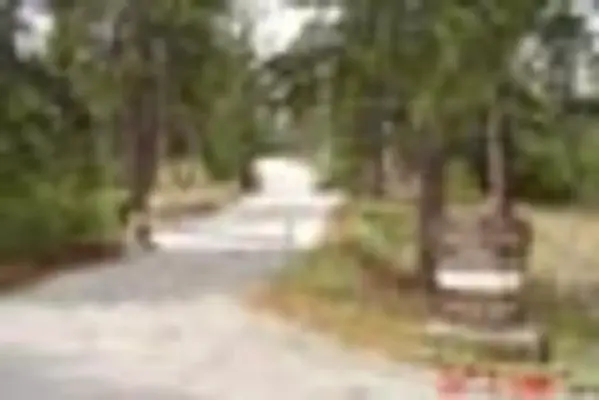


About Lightning Point Group Campground
Activities & Attractions
Nearby

Hiking

Horseback Riding
Year-round
Hiking
Horseback Riding
Campground Amenities
Most popular amenities
 Pet friendly
 Picnic Table
 Fire Pit

Cooking and Fire
- Picnic Table
- BBQ
- Fire Pit

Pets and Policies
- Pet friendly
Report Incorrect Information
Help us improve by reporting any incorrect amenity information for Lightning Point Group Campground.
Reviews (7)
Review Summary

Joseluis Salas
March 10, 2026

Jeremy Meadow
January 26, 2024
dope spot but you gotta drive pretty deep into
the forest

Nick Cortner
October 26, 2022
The campground anly getting closed for the Season. When its very called in there which is making the place to be not safe for peoples and horses, as you know there is a hors rides available when its open, and also form the wiled fires that had to destroy the area. Now its getting recoverd, and baing closed is for that right now is more important. The road to there is never closed. When y I u driving to the Forest Service Renger Station, before two memorial crests, htere is a rod going down on left. That one will brings you to the lighning campground, asa well as Massengers campground. The gate only closed from the beginning of the Lightning campground.

Lisa G
March 12, 2018
Area closed due to recovery from Sand Fire. You can get a ticket for being in this area.
L Gruber
March 12, 2018
Area closed due to recovery from Sand Fire. You can get a ticket for being in this area.

Wesley Wright
July 11, 2015
I was passing through and wanted to check out this campground. It is currently closed. There are water spigots which are turned off--not surprisingly. There appear to be horse corrals. The roads to get here are closed to cars.
Anonymous
Location Lightning Point Group Campground
Address:
12371 N.Little Tujunga Canyon
San Fernando, CA, 91342
United States
From Interstate 210 in La Canada, exit onto the Angeles Crest Highway (HWY 2) and drive northeast for approximately 10 miles to the intersection of the Angeles Crest Highway and the Angeles Forest Highway (County Road N3). Turn left (north) on to the Angeles Forest Highway and drive approximately 12 miles to the Santa Clara Divide Road at Mill Creek Summit. Turn left (west) onto the Santa Clara Divide and continue for about 11 miles to the campground.
The campground is accessible via Interstate 210, which connects to Angeles Crest Highway (HWY 2) approximately 10 miles to the southwest.
Latitude & Longitude: 34.3719 / -118.183
Elevation: 1873 feet
Policies & Rules
General
- No water or toilets available; campers must bring drinking water and a portable toilet
- Bears frequent the area; all food must be kept in approved containers
- Hay must be certified weed free
- Out-of-state horses must have current Coggins test
- Please bring garbage bags; this is a 'pack in-pack out' facility
- No generators, live bands or loud music
- For more information on Angeles National Forest, click here
- Don't Move Firewood: Protect California's forests from tree-killing pests by buying your firewood locally and burning it on-site. For more information visit firewood.ca.gov.
Warnings & Advisories
Warning
GeneralLightning Point Campground will be closed until further notice
Nearby Campgrounds
Nearby destinations
Last updated: July 11, 2026