

Featured amenities
 Pet Friendly
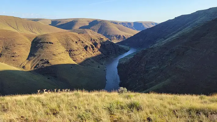
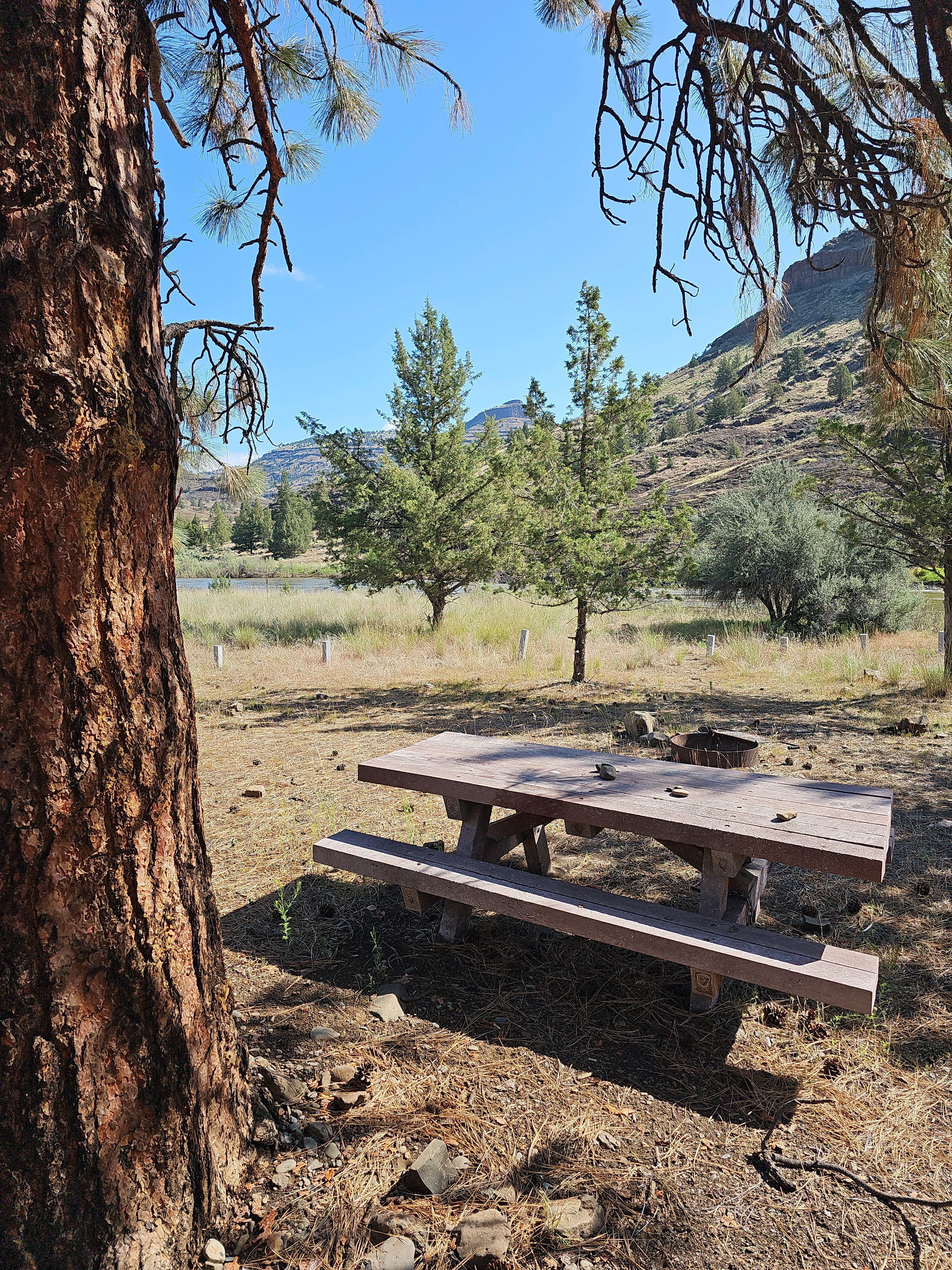
 River Access
 Fire Pit
About John Day River Basin Developed Campgrounds
Seasonal information
2026 Season availability
Campground Amenities
Most popular amenities
Pet friendly
River Access
Fire Pit

Cooking and Fire
- Fire Pit

Water Access
- River Access

Pets and Policies
- Pet friendly
Report Incorrect Information
Help us improve by reporting any incorrect amenity information for John Day River Basin Developed Campgrounds.
Reviews (2)
What Guests Are Saying
The campground was well-maintained and clean, with restrooms kept in good condition during a 10-day stay. The friendly maintenance staff provided positive interactions with guests, especially children. Overall, the campground offered fair pricing for its location and facilities, making it a worthwhile experience.
Review Summary
John S
October 20, 2024
The campground was very clean (albeit some trash, can't find it all, all the time). The restrooms were kept very clean for our 10 day stay. The person maintaining the campground and toilets was very friendly and we very much appreciated their brief but positive interaction with our grandkids. We have been staying in the Muleshoe area for many years during deer hunting season but never at this campground. Price was fair for the location and facilities.
Location John Day River Basin Developed Campgrounds
Address:
Bureau Of Land Management
Prineville, OR, 97754
United States
Service Creek Campground:
From Prineville, Oregon, take US 26 east out of town and drive 46.5 miles to OR 207 N. Turn left and drive 23.5 miles. Service Creek Campground and boat launch will be on the right.
Muleshoe Campground:
From Prineville, Oregon, take US 26 east out of town and drive 46.5 miles to OR 207 N. Turn left and drive 23.8 miles. Pass Service Creek Campground, and at the stop sign take a right onto OR 207 N. Drive for 1.9 miles and Muleshoe Campground will be on your right.
Lone Pine Campground:
From Prineville, Oregon, take US 26 east out of town and drive 77.7 miles. Turn left onto OR-19 N. Drive 18.4 miles then turn right onto OR-402 E. Drive for 1.8 miles and Lone Pine Campground will be on your right.
Big Bend Campground:
From Prineville, Oregon, take US 26 east out of town and drive 77.7 miles. Turn left onto OR-19 N. Drive 18.4 miles then turn right onto OR-402 E. Drive for 3 miles and Big Bend Campground will be on your right. Be cautious as this campground is on a sweeping bend in the road.
The campgrounds are accessible via US 26 and OR 207. US 26 is approximately 46.5 miles from Prineville, leading to OR 207, which provides access to the campgrounds.
Latitude & Longitude: 44.794 / -120.001
Elevation: 504 feet
Nearby Campgrounds

Last updated: July 11, 2026