About Paul Bunyon's Woodpile
A geologic curiosity - rare in Utah - the "Woodpile" is a cluster of lava logs formed about 30 million years ago during the Eocene Period.
The "logs" were formed when a lava flow cooled into orderly columnar joints having 3 to 6 sides. The columns measure about a foot in diameter and up to 15 ft in length.
This formation was on the rim of the caldera that collapsed due to a void left when lava flowed out from under the caldera. Basin and range faulting caused the formation to tilt onto its side. Erosion has exposed the formation we now see.
Activities & Attractions
Nearby

Hiking
Year-round
Year-round
Hiking
Nearby
Location & Directions for Paul Bunyon's Woodpile
95 East 500 North, Fillmore, UT 84631 United States
Elevation: 2,064 ft
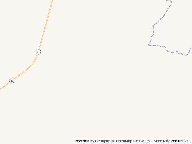
Highway access
The closest major road is Interstate 15, which is approximately 15 miles east of Paul Bunyon's Woodpile.
Nearby Campgrounds

Last updated: October 7, 2026

Need help?
Our team is here to help you find the perfect spot for your next adventure.
Message us
Replies within minutes
Explore Fillmore, UT
Population: 2,676
Elevation: 5,131 ft
From our Travel Guides

Managed by the Bureau of Land Management