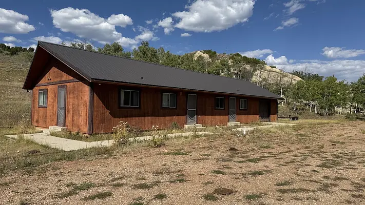


About Currant Creek Guard Station (UT)
Number of accommodations: 1
Seasonal information
2026 Season availability
Campground Amenities

Water Access
- Lake Access
Report Incorrect Information
Help us improve by reporting any incorrect amenity information for Currant Creek Guard Station (UT).


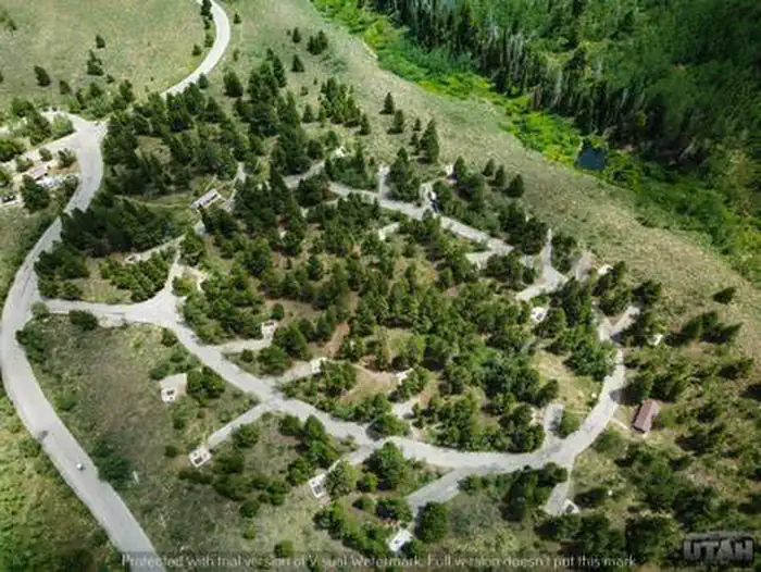
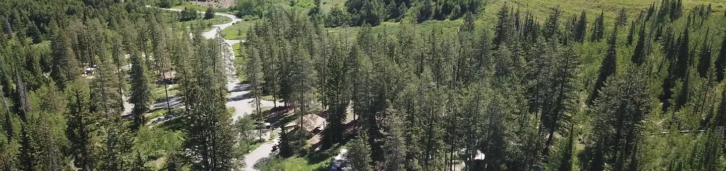
Currant Creek Guard Station, Loop: Currant Creek Guard Station
Site Details
Location Currant Creek Guard Station (UT)
Address:
Wasatch Cache National Forest
Heber City, UT, 84032
United States
From Heber City, Utah, take Highway 40 east for 45 miles to the Currant Creek Junction. Turn off the highway and travel in a northwest direction approximately 17 miles to the campground. The road from the highway is paved for 10 miles and graded gravel for 7 miles.
Stay on the most traveled road. When there are Y's in the road, stay on the road on the east side of Currant Creek, following the Creek to the dam. When you get to the dam, follow the road almost all the way around the reservoir, and you will find the campground near the southwest end of the lake, a short distance from the dam where you'll check in with the camp host.
Alternate Route:
Take US Highway 40 from Heber City and travel approximately 22 miles southeast to FS Road 082 (Coop Creek Road). There is a Coop Creek sign on the north side of Highway 40. Turn north (left) at the sign and travel approximately 8 miles north. At that point there is another sign for Currant Creek Campground. Turn right at the sign and travel approximately 6 more miles east and south to the campground where you'll check in with the camp host.
Latitude & Longitude: 40.3351 / -111.069
Elevation: 2405 feet
Nearby Campgrounds
Nearby destinations
Last updated: July 11, 2026