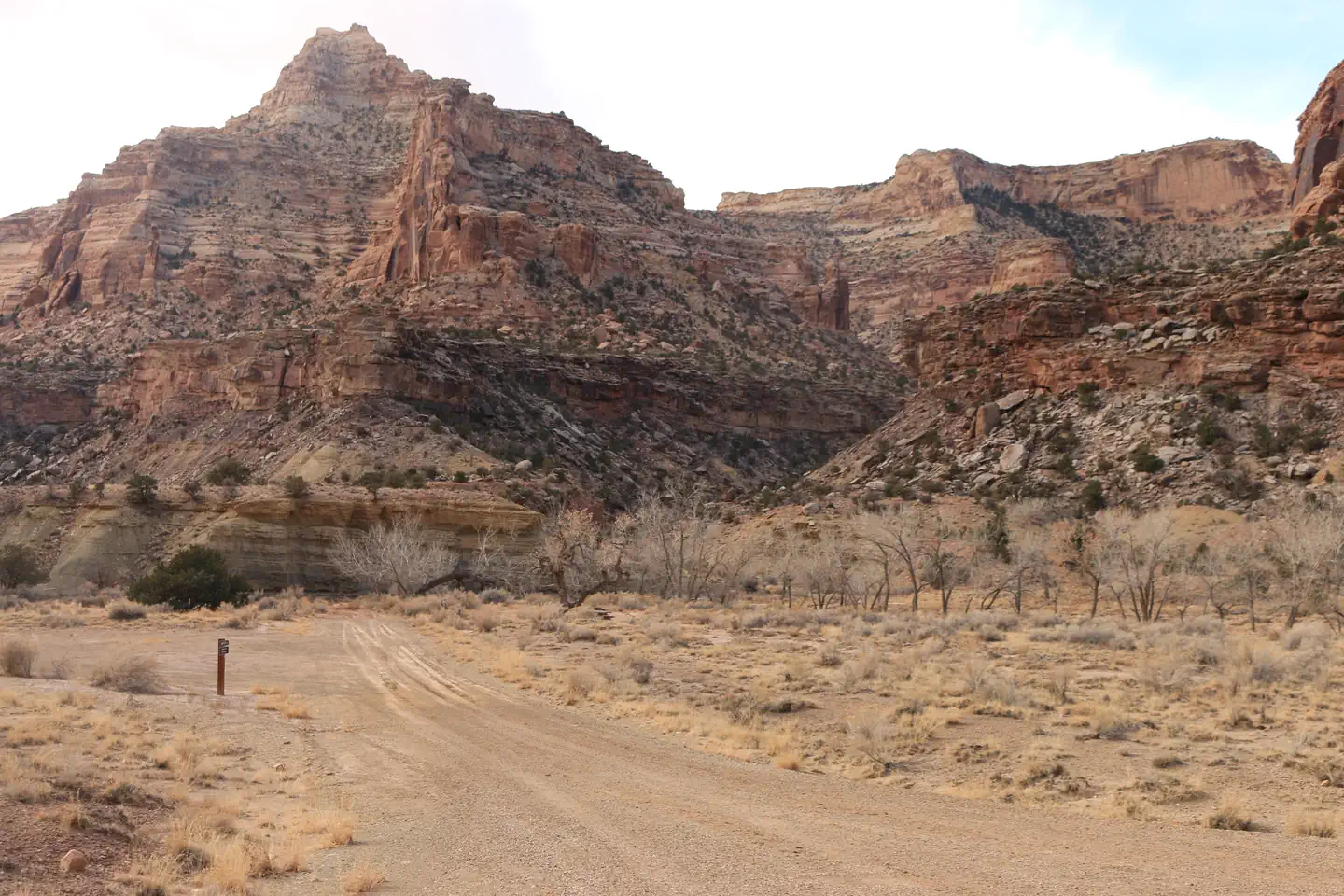
About Cedar Mountain Day Use Site
At over 7,600 feet above sea level, this picnic area scattered through the joint fractured Buckhorn Conglomerate is a child’s delight of narrow passages and tilted rocks perfect for scrambling on. The large pinyon pines growing there add to the shade and cooler temperatures making this a perfect summer lunch or dinner spot. Being able to see much of the San Rafael Swell below and the Henry and La Sal Mountains in the distance will surely delay the mealtime.
Location Cedar Mountain Day Use Site
Address:
125 South 600 West
Price, UT, 84501
United States
Highway access
Cedar Mountain Day Use Site is located approximately 23 miles from US Highway 6, providing access to the area.
Latitude & Longitude: 39.1731 / -110.627
Elevation: 2313 feet
Nearby Campgrounds
Nearby destinations
Last updated: July 11, 2026
Managed by Bureau of Land Management