Featured amenities
 Picnic Table
About Otter Creek, Tamarisk Point Rec Site
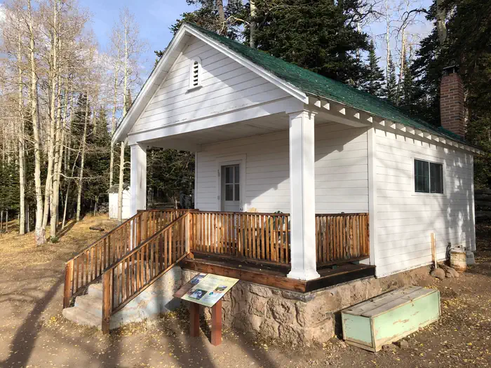
Otter Creek has an activity for almost everyone. The cold, clear water of this large reservoir offers year-round fishing for rainbow trout. For wildlife watchers, numerous waterfowl, raptors, deer, antelope, and elk abound. If you re an ATV rider, you ll want to try the Paiute ATV trail, which can be accessed from here. The primary activities are fishing and boating although it also serves as a regional staging site for extended and day trips into the surrounding National Forest, Utah State Lands and BLM managed lands by horse, foot, and vehicle. The Richfield Field Office manages day use facilities, dispersed and primitive camping facilities, and fishing access to the Reservoir at Fisherman's Beach, Tamarisk Point, and South Point along the west side of the reservoir. There is no potable water but picnic tables and pit toilets are available. Otter Creek Reservoir is located at the southeastern corner of Paiute County near the town of Antimony. A Utah State Park is located at the south end and provides well developed facilities, while the Richfield BLM maintains several semi-primitive sites along the west side of the lake and dispersed use is available on the east side of the reservoir. The main attraction is fishing and camping. The lands are sagebrush steppe. The Parker Mountains are located to the east, Monroe Mountain and Kingston canyon to the west of the lake, and the Sevier Plateau is to the southwest.
Campground Amenities
Most popular amenities
Picnic Table

Cooking and Fire
- Picnic Table
Missing information?
Report Incorrect Information
Help us improve by reporting any incorrect amenity information for Otter Creek, Tamarisk Point Rec Site.
Location Otter Creek, Tamarisk Point Rec Site
Address:
150 East 90 North
Richfield, UT, 84701
United States
Highway access
The campground is accessible via US Highway 89, located approximately 20 miles to the west. State Route 24 is also nearby, providing further access from the surrounding area.
Latitude & Longitude: 38.2093 / -111.991
Elevation: 1945 feet
Nearby Campgrounds
Last updated: July 11, 2026
Managed by Bureau of Land Management