About Walker Fork Campground
This hosted Campground is located at milepost 82.1 of the Taylor Highway, near Chicken. The Campground is operated by the BLM and offers 24 camping sites, 18 of which are pull-through sites.
An iron ranger fee-payment box sits near the entrance. Visitors can also pay fees using the Scan & Pay app on a mobile phone. Because there is no cell phone reception at the site, you will need to download the required Recreation.gov mobile app prior to traveling to the Campground, selecting the Scan & Pay option.
In the 1930s and 1940s, this was the site of Lassen airstrip. Year-round air service replaced winter-only sleds delivering equipment and fuel to mining camps on Jack Wade Creek.
Location & Directions for Walker Fork Campground
Eastern Interior Field Office , Mp 82.1 Taylor Highway, Chicken, AK 99709 United States
Elevation: 544 ft
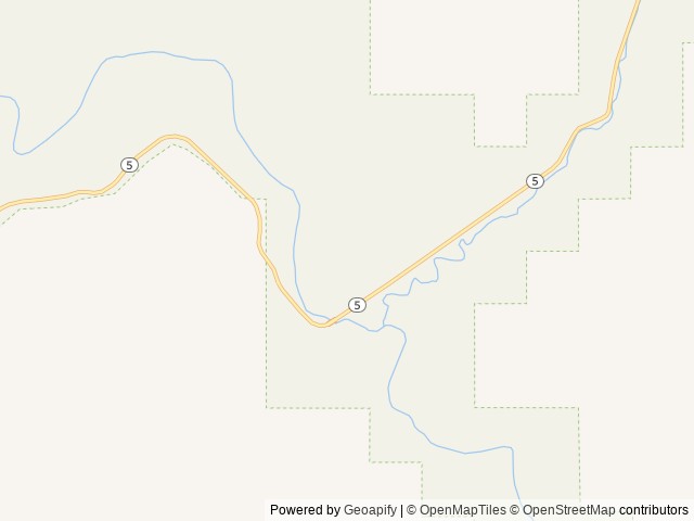
Highway access
Walker Fork Campground is accessible via Taylor Highway, which is a significant route in the area.
Nearby Campgrounds
Last updated: October 7, 2026

Need help?
Our team is here to help you find the perfect spot for your next adventure.
Message us
Replies within minutes
From our Travel Guides

Managed by the Bureau of Land Management