About Paradise Royale Mt Bike Trail
Reviews (6)
What Guests Are Saying
King Range National Conservation Area, situated along California’s Lost Coast, offers a pristine and rugged coastline that remains largely untouched due to its remoteness. Access requires a four-wheel drive vehicle due to rough, unpaved roads. Visitors should be prepared for sandy hiking conditions.
Review Summary

Haiyan Chen
August 23, 2025
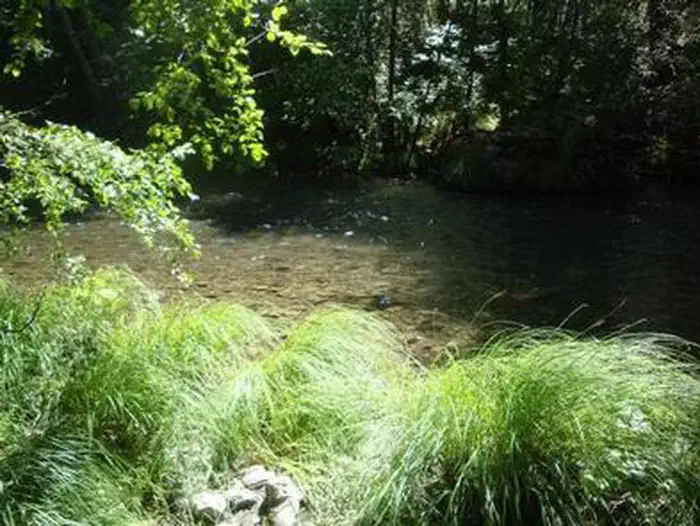
King Range National Conservation Area, located along California’s Lost Coast in the north, is one of the most pristine and rugged coastlines in the continental United States. Because roads cannot be built through this stretch, it has remained remote and largely untouched. The nearest towns are Garberville and Eureka, about a 1–2 hour drive west. Roads inside the conservation area are rough, with some unpaved sections, so a four-wheel drive vehicle is recommended.

Microbe society
June 21, 2025
It’s a very neat spot, it is walking on sand for a while if you are hiking, so be prepared :)

jas dhillon
August 2, 2022
The King Range NCA is the only area along 35 miles of California’s north coast which is still pristine. The landscape is too rugged for highway or road building, hence the title California’s Lost Coast. Backpacking and hiking is the best way to enjoy the sunsets from the beaches with black sand. One must be careful of the rip currents and undertows. We had to wait several minutes to an hour so we can safely get through narrow passage. People actually get hurt and killed when caught in the current. Please use caution ⚠️ and be safe.
Bear cans are mandatory for overnight camping, lastly be cautious of rattle snakes, almost stepped in one.

Mercedees Edwards
July 3, 2021
Such a neat spot with tide pools, seals, and sea lions! The lighthouse is really neat to look at, and there are volunteers inside that answer a lot of questions and have a couple things you can browse through or purchase. Unfortunately you cannot climb to the top of the lighthouse but you can go inside at the bottom. There are lots of picnic tables around this area so you can stop by and enjoy a snack or meal. You can walk down some stairs to the beach and peruse through the tide pools and see the sea lions and seals. Pretty neat spot to stop by if you’re in the area.

Ramon Vargas
July 7, 2019
Awesome beauty from the majestic tall redwood forests, up to the steep mountains and down to the rugged Lost Coast Trail. This is a wonderful place to bring family and friends or to get lost and enjoy some peace and quiet by yourself.
Anonymous
{"text"=>"Awesome beauty from the majestic tall redwood forests, up to the steep mountains and down to the rugged Lost Coast Trail. This is a wonderful place to bring family and friends or to get lost and enjoy some peace and quiet by yourself.", "languageCode"=>"en"}
Location Paradise Royale Mt Bike Trail
Address:
King Range National Conservation Area
Whitehorn, CA, 95589
United States
Latitude & Longitude: 40.0802 / -124.057
Elevation: 534 feet