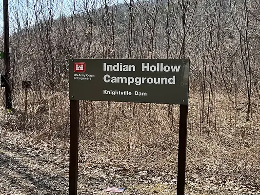


About Indian Hollow
Seasonal information
2026 Season availability
Campground Amenities
Most popular amenities
 Pet friendly
 River Access
 Showers

Water and Hygiene
- Potable Water
- Showers

Water Access
- River Access

Pets and Policies
- Pet friendly
Reviews
0 reviews
Location & Directions for Indian Hollow
200 Indian Hollow Road, Chesterfield, MA 01012 United States
Elevation: 173 ft
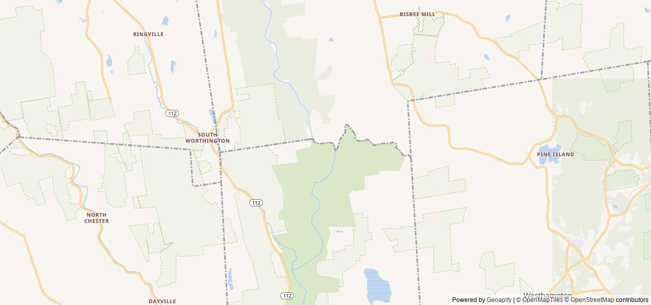


Getting There
Driving directions to the campground:
Address: 200 Indian Hollow Rd, Chesterfield, MA 01012
From intersection of State Route 143 and South Street in the center of Chesterfield, turn south on South Street.
Follow for approx. 2 mi and turn right...
Driving directions to the campground:
Address: 200 Indian Hollow Rd, Chesterfield, MA 01012
From intersection of State Route 143 and South Street in the center of Chesterfield, turn south on South Street.
Follow for approx. 2 mi and turn right onto Indian Hollow Road.
Follow Indian Hollow Road to the end, campground gate is at end of the road.
For Key Pick-up / Drop-off:
Address: 49 Knightville Dam Road, Huntington, MA 01050
From intersection of State Routes 66 and 112 in Huntington, head north on State Route 112.
In 1/3 of a mile, turn right onto Knightville Dam Road.
Dam office is located at the top of the hill at the end of the road.
Highway access
The campground is accessible via State Route 143 and is located approximately 2 miles south of the intersection with South Street in Chesterfield. Additionally, State Routes 66 and 112 are nearby in Huntington, providing further regional access.
Nearby Campgrounds

Nearby destinations

Last updated: October 7, 2026

Need help?
Our team is here to help you find the perfect spot for your next adventure.
Replies within minutes
Explore Chesterfield, MA
Nearby city: Chicopee, MA
Approx. 18 mi away (straight-line distance)
Elevation: 1,434 ft
Chesterfield, MA
Weather & Conditions
From our Travel Guides