


About Cienega Picnic Site
Seasonal information
2026 Season availability
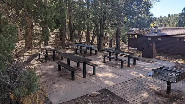
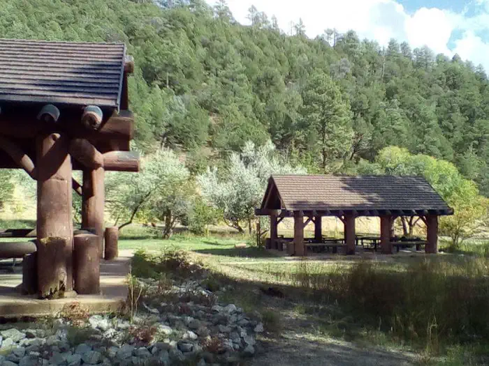
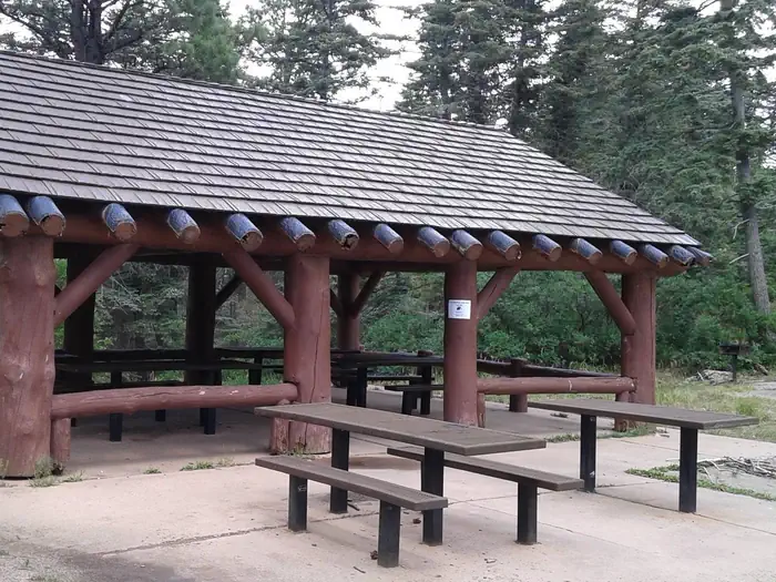
Campground Amenities
Most popular amenities
 Parking
 Picnic Table
 Restrooms

Water and Hygiene
- Restrooms

Cooking and Fire
- Picnic Table
- Grill

Parking and Transport
- Parking
Report Incorrect Information
Help us improve by reporting any incorrect amenity information for Cienega Picnic Site.
Reviews (6)
What Guests Are Saying
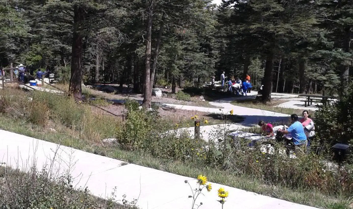
The Cienega Picnic Site is an ideal location for group gatherings, receiving high praise for its suitability. Reviewers found the site to be excellent, expressing intentions to return. Overall, the venue is well-regarded for its positive attributes.
What Guests Are Saying
The Cienega Picnic Site is an ideal location for group gatherings, receiving high praise for its suitability. Reviewers found the site to be excellent, expressing intentions to return. Overall, the venue is well-regarded for its positive attributes.
Review Summary
David R
July 11, 2024
The area was perfect for our group. Most excellent and we’ll use it again.
David R
July 11, 2024
The area was perfect for our group. Most excellent and we’ll use it again.
Kyu P
September 13, 2023
Excellent picnic area for group of 40+. wish this area had a large flat field for group activities.
Kyu P
September 13, 2023
Excellent picnic area for group of 40+. wish this area had a large flat field for group activities.
Kyu P
September 11, 2022
Excellent place for group picnic...wish the place had more flat areas that are shaded for group games/activities. Otherwise, very private and nice area.
Kyu P
September 11, 2022
Excellent place for group picnic...wish the place had more flat areas that are shaded for group games/activities. Otherwise, very private and nice area.
Location Cienega Picnic Site
Address:
Sandia Ranger District
Tijeras, NM, 87059
United States
From Albuquerque, drive east on I-40 to Exit 175. Proceed north on Highway 14 about 7 miles to Highway 536. Turn onto Highway 536 and wind your way up. Look for signage for Cienega and Sulphur picnic sites on your left. They share the same entrance. As you turn into the entrance to Cienega and Sulphur Picnic sites, Sulphur is directly to the right as you enter and Cienega entrance is further up and to your left. The road to Cienega Picnic site continues for about a 1/2 mile drive into the woods. When you arrive at the parking area, turn right and look to your right until you see the gated site. There is a sign that will direct you to Cienega Picnic site. REMEMBER to pick up your key at Sandia Ranger District. (See: Know Before you Go below)
Cienega Picnic Site is accessible from Interstate 40 via Exit 175, followed by a northbound drive on Highway 14 for approximately 7 miles to Highway 536.
Latitude & Longitude: 35.1697 / -106.384
Elevation: 2286 feet
Nearby Campgrounds
Nearby destinations
Last updated: July 11, 2026