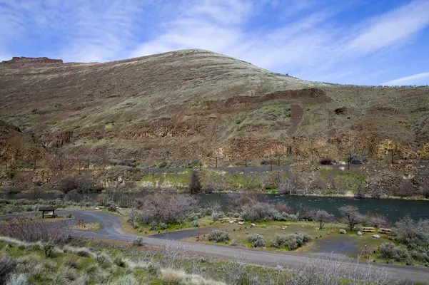


About Macks Canyon Recreation Site
The Macks Canyon archaeological site is a large, prehistoric village locale overlooking the Deschutes River in north-central Oregon. The site is characterized by shallow, circular, semi-subterranean house depressions, surface artifacts, and riverine shell deposits. Limited excavations conducted in the late 1960s indicate that the site was the location of a winter village occupied by Sahaptin-speaking people of the Columbia Plateau. Although the main period of occupation appears to have occurred within the last 2,000 years, the site may have been occupied as early as 5,000 BC.A campground and boat ramps are situated at the end of the Access Road along the east bank of the Lower Deschutes River. The area is popular with boaters and fishermen. The route to Macks Canyon is also a National Back Country Byway.Know Before You GMacks Canyon Recreation Site is open year-round and is with 18 individual campsites, two group-use campsites two vault toilets and garbage service. No drinking water or utility hookups are available.No reservations are accepted; all campsites, are available on a first-come, first-served basis only.No cell phone service is available.Campfires and smoking are allowed only from October 16 through May 31, annually, unless posted otherwise.When recreating on Public Lands, please practice the seven Leave-No-Trace Principles.Point of InterestMacks Canyon Recreation Site marks the northern terminus of the Lower Deschutes River Back Country Byway and the southern terminus of the non-motorized 23-mile Des Chutes Railbed Trail. This extremely rough, unmaintained trail follows a now-overgrown former railbed 11.6 mi to Harris Canyon. The northern 11.5 mi segment from Harris Canyon to Deschutes River State Recreation Area is maintained.
Campground Amenities

Water Access
- Boat Ramp / Launch
Missing information?
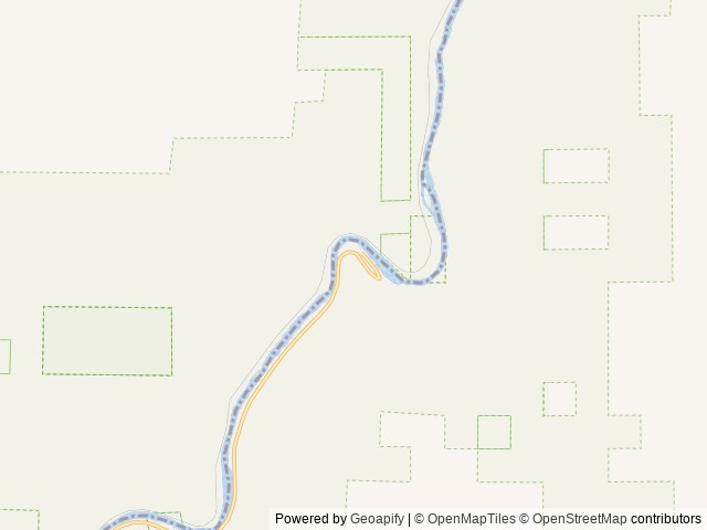
Location & Directions for Macks Canyon Recreation Site
Prineville District Office, 3050 Ne 3rd Street, Prineville, OR 97754 United States
Elevation: 160 ft
Nearby Campgrounds


Nearby destinations
Last updated: October 7, 2026

Need help?
Our team is here to help you find the perfect spot for your next adventure.
Message us
Replies within minutes
Explore Prineville, OR
Population: 11,470
Nearby city: Gresham, OR
Approx. 76 mi away (straight-line distance)
Elevation: 2,867 ft
From our Travel Guides

Managed by the Bureau of Land Management