


Featured amenities
 River Access
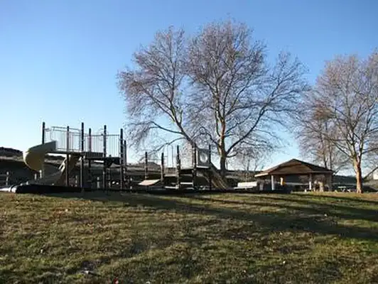
 Playground
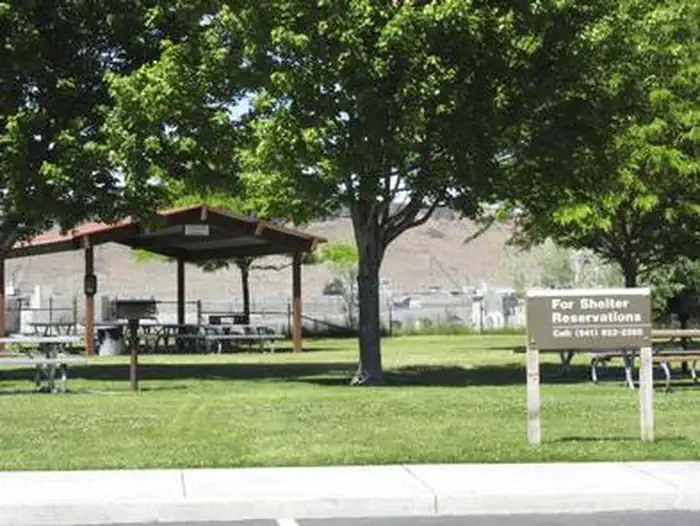
About Mcnary Beach - Sockeye Shelter (OR)
Seasonal information
2026 Season availability
Campground Amenities
Most popular amenities
River Access
Playground

On Site Services
- Playground

Water Access
- River Access
Report Incorrect Information
Help us improve by reporting any incorrect amenity information for Mcnary Beach - Sockeye Shelter (OR).
Reviews (4)
Review Summary

Aahil Hossain
November 17, 2024

Jose Medina
August 9, 2023
Nathan M
July 8, 2023
Shelter was all the way up top away from beach, we didn’t even use it. Cant get a refund no matter what you do. Total waste
Anonymous
Location Mcnary Beach - Sockeye Shelter (OR)
Address:
Po Box 1230
Umatilla, OR, 97882
United States
From Highway 730 turn north onto Beach Access Road, drive for about a mile and then turn right onto McNary Beach Road and that will take you right into McNary Beach Park.
Mcnary Beach - Sockeye Shelter is accessible via State Highway 730, approximately 8 miles to the north. The nearest major access point is Interstate 82, located about 20 miles away.
Latitude & Longitude: 45.9309 / -119.271
Elevation: 109 feet
Nearby Campgrounds
Last updated: July 11, 2026