Pahvant Valley Heritage Trail Includes: Sunstone Knoll, Great Stone Face, Lace Curtain, Pahvant Butte, Devil's Curtain, Lava Tubes and Hole in the Rock.

About Pahvant Valley Heritage Trail Includes: Sunstone Knoll, Great Stone Face, Lace Curtain, Pahvant Butte, Devil's Curtain, Lava Tubes and Hole in the Rock.

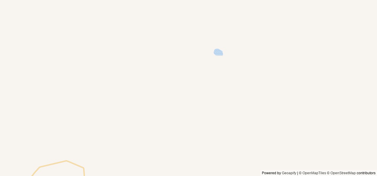
Have a few hours, or a whole day to explore and see some sights? Stop by and visit Fort Deseret, Great Stone Face, Sunstone Knoll, Clear Lake, Devils Kitchen Petroglyphs, Pahvant Butte, Lace Curtain, Lava Tubes, and Hole-in-the-Rock Petroglyphs. These are nine points of interest located along the Pahvant Valley Heritage Trail intended to engage the public in preservation and stewardship of public land. The Pahvant Valley Heritage Trail consists of driving routes and hiking trails intended to promote opportunity and choice for recreationists in Millard County. The intent of the Pahvant Valley Heritage Trail is to encourage visitation to select cultural and recreational resources on BLM-administered lands in Millard County, to support the dual causes of promoting heritage tourism in Millard County and affording Bureau of Land Management the opportunity to educate and engage the public in an outdoor museum setting. Located in a broad, arid, north-south trending valley in the Great Basin Physiographic Region, the Pahvant Valley encompasses most of southeastern Millard County, Utah. Its extent is defined by the Pahvant Range to the east and the Cricket Mountains to the west. The Pahvant Valley Heritage Trail is bounded by the town of Delta, Utah and Highway 50 and 6 to the north, the town of Fillmore and Interstate 15 to the east, the town of Kanosh and the Kanosh Road to the south, and Highway 257 to the west.***Keep in mind that access points to the majority of the points of interest along the Pahvant Valley Heritage Trail are located on dirt roads. All-wheeled drive vehicles are strongly recommended in those locations. The road to the Lava Tubes is extremely rough, and is best driven with an all-terrain vehicle.

Activities & Attractions

Nearby

Hiking

Hiking

Year-round

Reviews

6 reviews

Summary

AI generated

The reviewer expresses strong dissatisfaction with government organizations' management of forests, claiming they have harmed public lands. They feel that the preservation efforts have failed, leading to significant damage to the natural environment. The reviewer warns that if current practices continue, it could result in the loss of all trees.

Based on guest feedback

3.7

Overall rating

Based on 6 reviews

Write a review
5 stars 66.7% (4)
4 stars 0.0% (0)
3 stars 0.0% (0)
2 stars 0.0% (0)
1 star 33.3% (2)

Showing 6 reviews

Sort by: Newest First
Dan Robison

Dan Robison

June 10, 2025 Google Maps

I think it is criminal what these government organizations have done to the forests. They are supposed to be protecting the public lands. Instead they have managed to destroy almost all that was living on them. Look around they are not going to stop until all the trees are gone.

Helpful

Davis Parkins

Davis Parkins

May 20, 2020 Google Maps

Helpful

Nick

Nick

May 20, 2020 Google Maps

Helpful

James Reksc

James Reksc

May 20, 2020 Google Maps

Helpful

Tee Jay

Tee Jay

August 18, 2019 Google Maps

Helpful

Anonymous

Google Maps

Helpful

Location & Directions for Pahvant Valley Heritage Trail Includes: Sunstone Knoll, Great Stone Face, Lace Curtain, Pahvant Butte, Devil's Curtain, Lava Tubes and Hole in the Rock.

Fillmore Field Office , 95 East 500 North, Fillmore, UT 84631 United States

Elevation: 1,536 ft

Nearest town

Fillmore, UT - 23 mi

About 38 min to downtown

Highway access

The nearest major road access is via US Highway 50, which is approximately 10 miles to the north in Fillmore.

Nearby Campgrounds

Nearby destinations


Last updated: October 7, 2026

Message us

Need help?

Our team is here to help you find the perfect spot for your next adventure.

Message us

Replies within minutes

Explore Fillmore, UT

Population: 2,676

Nearby city: Provo, UT

Approx. 90 mi away (straight-line distance)

Elevation: 5,131 ft

Fillmore, UT

Weather & Conditions

Loading destination weather
Bureau of Land Management Logo
Managed by the Bureau of Land Management