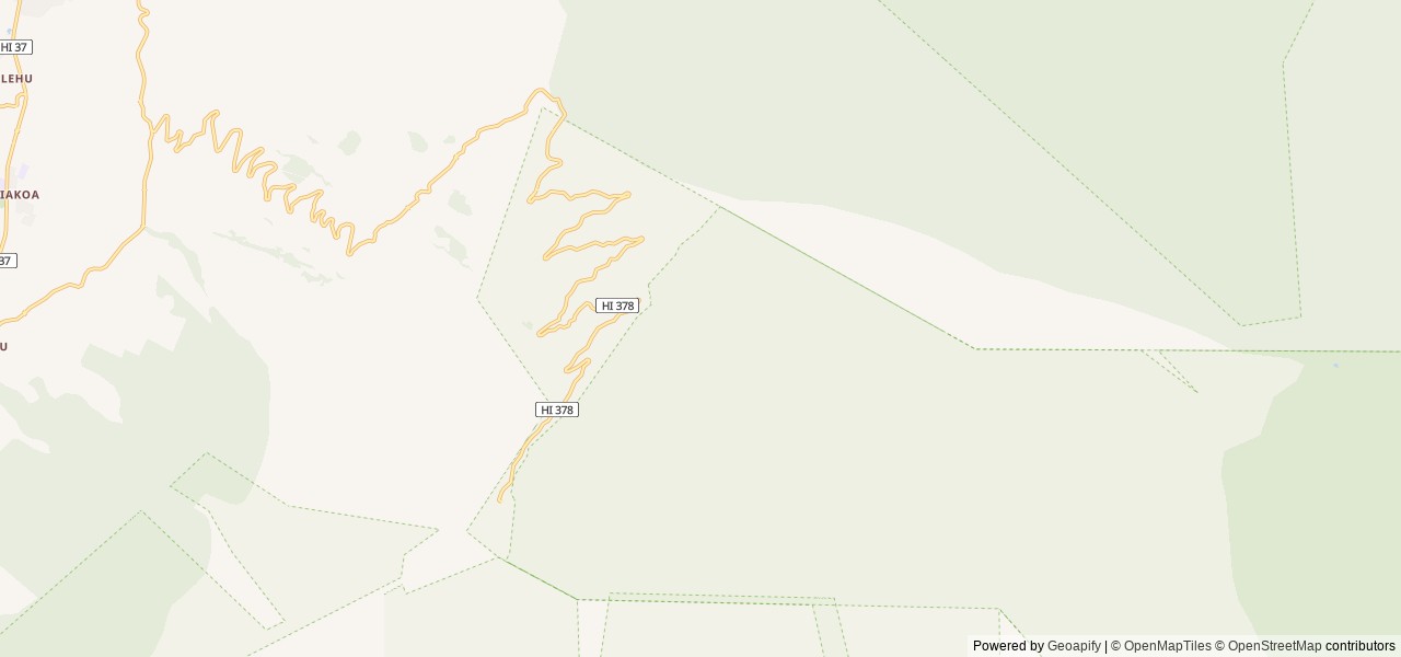
For maps of the island and the park visit https://www.nps.gov/hale/planyourvisit/maps.htm
To the Summit District of Haleakalā National Park: There are brown information signs along the way. From Kahului, take Hana Highway (SR36) and travel 2 mi (...
For maps of the island and the park visit https://www.nps.gov/hale/planyourvisit/maps.htm
To the Summit District of Haleakalā National Park: There are brown information signs along the way. From Kahului, take Hana Highway (SR36) and travel 2 mi (toward Hana). Turn right onto Haleakalā Highway (SR37) and travel for 7.8 mi. Turn left onto State Highway 377 and travel for 6 mi. Turn left onto Crater Road (large brown wooden Haleakalā NP sign mounted in median) and travel for 1.2 mi. Continue on Crater Road for 9.9 mi to arrive at the park boundary/entrance station. The summit of Haleakalā (elevation 10 ft 3055m) is 11 mi further and about an additional 30-minute drive, beyond the entrance station.
To Headquarters Visitor Center: The Headquarters visitor center will be the first building on the right hand side of the road past the entrance station. Here you can use flush toilets and fill up on water prior to starting your hike.
To Halemauʻu Trailhead: From the Headquarters visitor center, continue up 3 switchbacks to the first pull-off on the left hand side marked "Halemauʻu Trailhead". You may choose to begin your hike at this trailhead (3.7 mi (3.7 mi) one way to Hōlua; 10.4 mi (10.6 mi) one way to Palikū).
To Keoneheʻeheʻe (sliding sands) Trailhead: From the Headquarters visitor center, drive 11 mi up several switchbacks (about a 30 minute drive) to the Haleakalā Visitor Center parking lot. Once you enter the lot, the trailhead is on the right hand side. You may choose to being your hike at this trailhead (7.4 mi (7.5 mi) one way to Hōlua; 9.3 mi (9.3 mi) one way to Palikū).
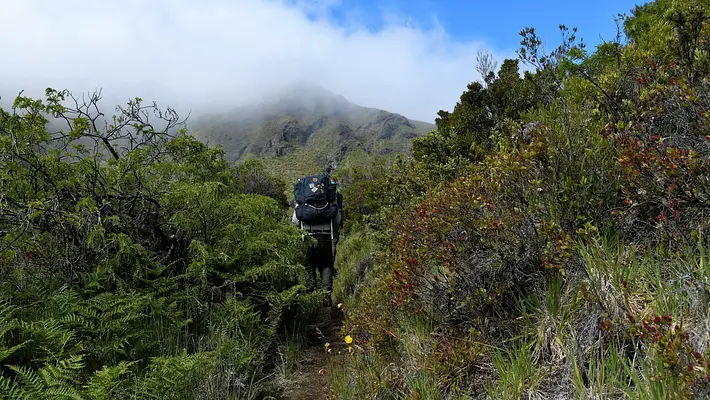


 Tent Sites