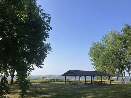

About Whitebreast Point Shelter (IA)
Seasonal information
2026 Season availability
Campground Amenities

Water Access
- Lake Access
- Boat Ramp / Launch
Location & Directions for Whitebreast Point Shelter (IA)
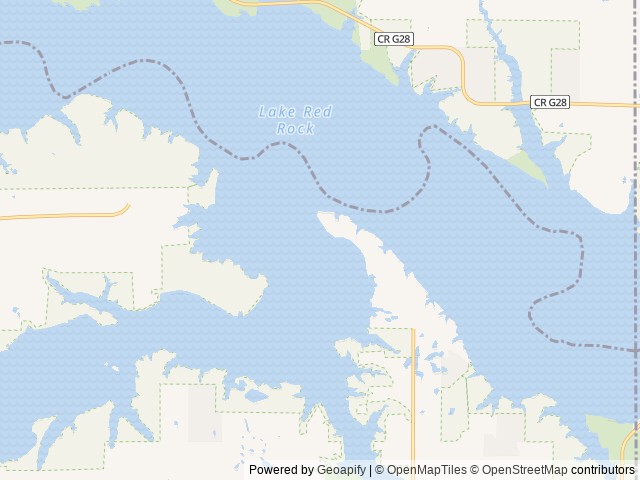
971 Highway S71, Knoxville, IA 50138 United States
Elevation: 240 ft
Getting There
<p>971 Hwy S71 <br>Knoxville, IA 50138<br><br>From Knoxville, take County Highway T-15 northeast for 8 mi. Turn north onto County Highway S-71 and continue 2 mi, following signs to the campground.<br>From Pella, take County Highway T-15 southwest ...
971 Hwy S71
Knoxville, IA 50138
From Knoxville, take County Highway T-15 northeast for 8 mi. Turn north onto County Highway S-71 and continue 2 mi, following signs to the campground.
From Pella, take County Highway T-15 southwest for 7 mi. Turn north onto County Highway S-71 and continue 2 mi, following signs to the campground.
Shelter is located at the back of the campground.
Highway access
The campground is accessible via County Highway T-15 and County Highway S-71. Interstate 80 is approximately 25 miles to the north, providing indirect access.
Policies & Rules
Arrival & departure
- You can occupy the shelter until dusk.
Site capacity
- Overnight camping is not allowed; this area is for day use only.
Vehicles & parking
- You cannot use golf carts, UTVs, or ATVs in this area.
Site types & loops
- Inflatable play equipment is not allowed unless you have a Special Event Permit; contact the office for details.
Nearby Campgrounds


Last updated: October 7, 2026

Need help?
Our team is here to help you find the perfect spot for your next adventure.
Replies within minutes
Explore Knoxville, IA
Population: 7,473
Elevation: 915 ft
From our Travel Guides