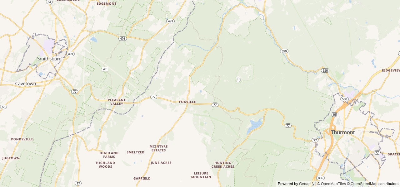
Directions to the trailhead parking at Camp Round Meadow: From Thurmont MD, take Route 77 west 5 mi (5 mi) to Foxville Road. Turn right and follow signs to Camp Round Meadow parking area.
You cannot drive to the shelters. The hike is a minimum of...
Directions to the trailhead parking at Camp Round Meadow: From Thurmont MD, take Route 77 west 5 mi (5 mi) to Foxville Road. Turn right and follow signs to Camp Round Meadow parking area.
You cannot drive to the shelters. The hike is a minimum of 3 mi (3 mi).
GPS coordinates for Shelter #1 are 39° 40' 37.8001" N 77° 29' 3.8000" W
Shelter #2 is nearby (visible from) Shelter #1.
Hikers: protect park resources by using the trail system when accessing the shelters or other park features. Obtain trail maps at the park Visitor Center or download them from the Catoctin Mountain Park Hiking web page. Hilly terrain and the forest canopy can prevent satellite signals from reaching your unit increasing the importance of a back-up strategy.


 Tent Sites