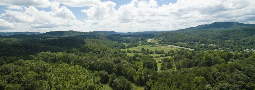
Aerial drone view of the property and surrounding mountains (homepage background image). Good overview showing site layout, river valley and context of the campground on the official site.
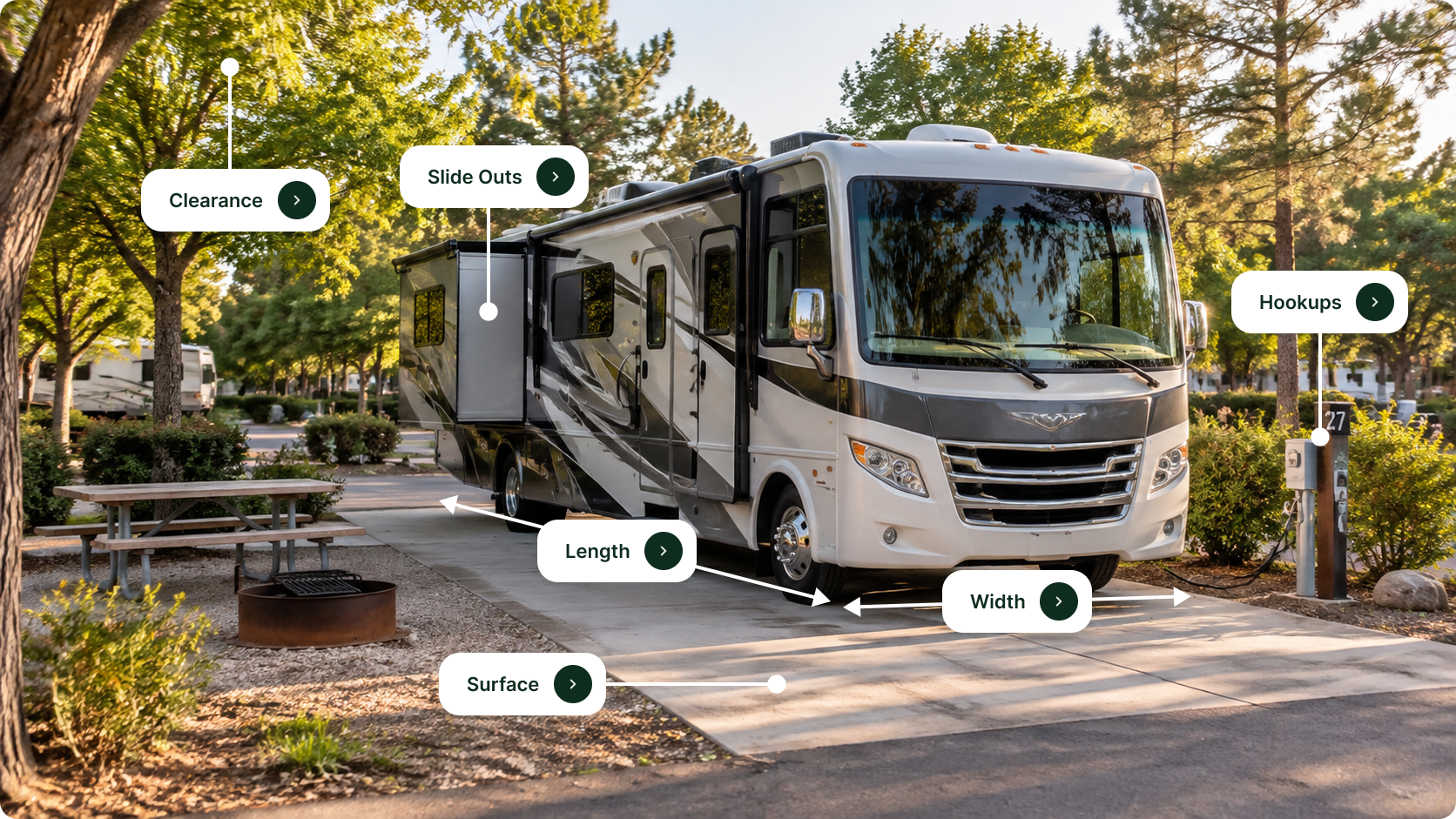
Gravel RV/campsite with picnic table, utility pedestal and mature trees — clearly a site photo from the ‘Sites’ page (shows typical pitch and setting).
Front-facing campsite view with gravel pad, picnic table and wooded surroundings — representative guest site image from the property’s Sites page.
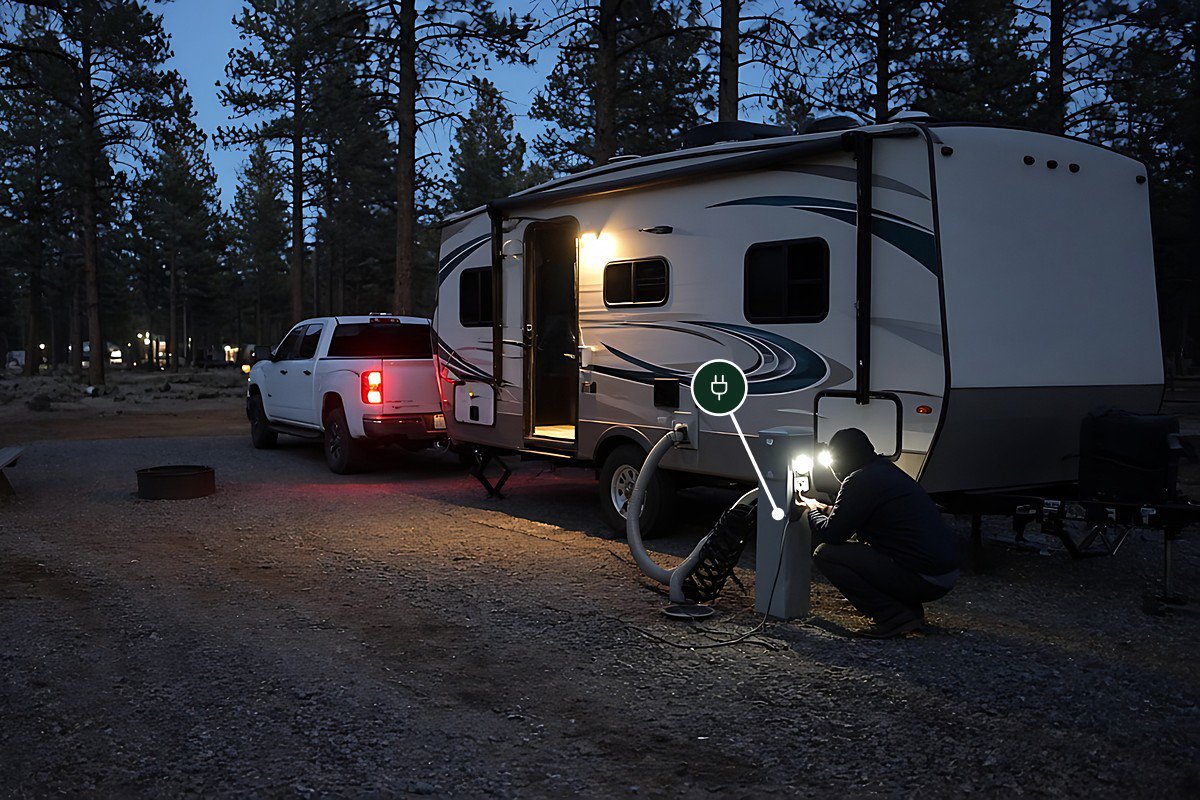
Campsite with gravel pad, utility hookup and an RV visible in background — useful to show actual RV-scale site and on-site vehicle context (from Sites page).
Angled view of campsite and adjacent paved access road with picnic bench and trees — provides additional perspective of site layout and road access shown on the Sites page.

Location & Directions for Peachtree Cave RV Park

68 Old Peachtree Road, Marble, NC United States

Elevation: 479 ft
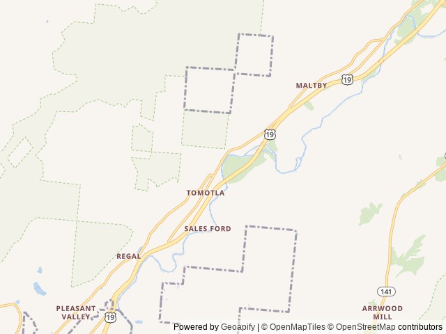
Nearest town

Marble, NC - 4.2 mi

About 5 min to downtown

Highway access

The campground is on Old Peachtree Road.

Nearby National Park

Approximate driving time: over 1 hr (79 min)

Nearby Campgrounds

Nearby destinations


Last updated: October 8, 2026

Message us

Need help?

Our team is here to help you find the perfect spot for your next adventure.

Message us

Replies within minutes

Is this your campground?

Explore Marble, NC

Population: 472

Nearby city: Knoxville, TN

Approx. 57 mi away (straight-line distance)

Elevation: 1,683 ft