Top Campgrounds near Parowan
Popular Filters
Canyons of Escalante RV Park
Hidden Springs RV Resort
Adelaide Campground
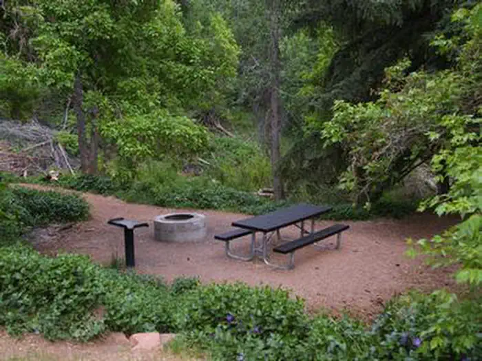
Adelaide Campground is situated in Corn Creek Canyon at the southern end of the Pahvant Mountain Range, close to Kanosh, Utah. It offers a scenic outdoor experience in a mountainous setting. The campground is ideal for nature enthusiasts and outdo...
Wire Pass Day Use
Aquarius Ranger Station
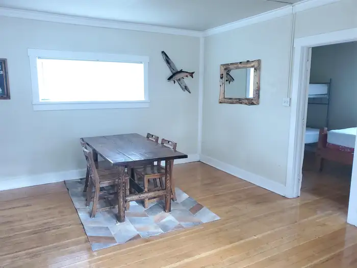
Aquarius Ranger Station, situated 15 miles south of Loa in eastern Utah, is on the west side of Boulder Mountain and was established by the Civilian Conservation Corps in 1937. It has served generations of Forest Service employees in the area. Vis...
Stateline Campground
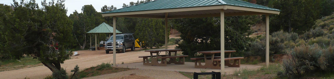
Stateline Campground is located on the Utah-Arizona border along House Rock Valley Road, featuring the northern terminus of the Arizona National Scenic Trail amidst the scenic Paria Plateau. It offers 8 free, first-come, first-served sites with am...
White House Campground
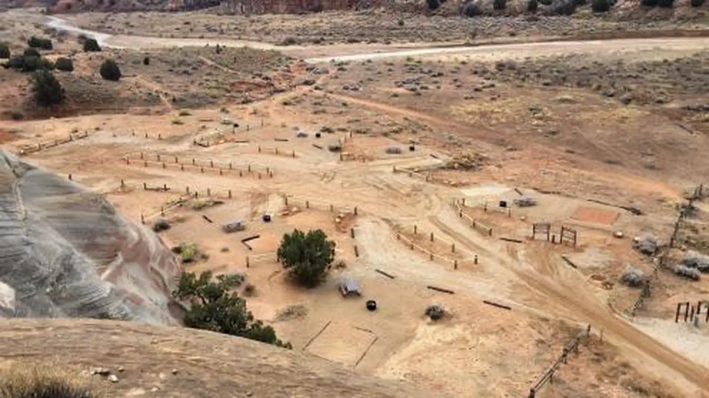
White House Campground, located 43 miles east of Kanab, Utah, offers first-come, first-served campsites in a scenic valley between the Paria River and sandstone buttes. Primarily used by hikers and backpackers, it serves as a staging area for the ...
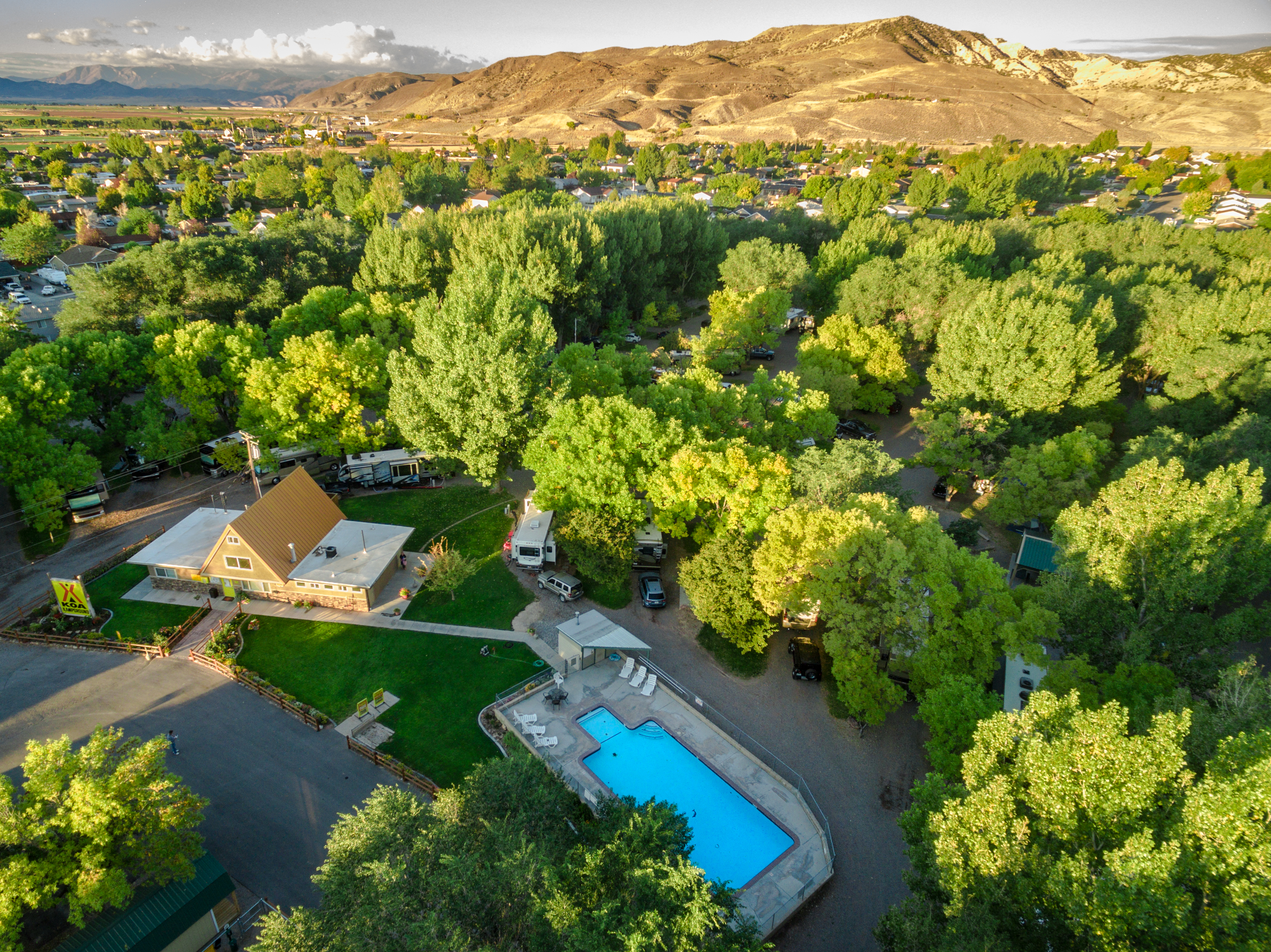
Richfield KOA Holiday
Popular Filters
Canyons of Escalante RV Park
Hidden Springs RV Resort
Adelaide Campground
Adelaide Campground is situated in Corn Creek Canyon at the southern end of the Pahvant Mountain Range, close to Kanosh, Utah. It offers a scenic outdoor experience in a mountainous setting. The campground is ideal for nature enthusiasts and outdo...
Wire Pass Day Use
Aquarius Ranger Station
Aquarius Ranger Station, situated 15 miles south of Loa in eastern Utah, is on the west side of Boulder Mountain and was established by the Civilian Conservation Corps in 1937. It has served generations of Forest Service employees in the area. Vis...
Stateline Campground
Stateline Campground is located on the Utah-Arizona border along House Rock Valley Road, featuring the northern terminus of the Arizona National Scenic Trail amidst the scenic Paria Plateau. It offers 8 free, first-come, first-served sites with am...
White House Campground
White House Campground, located 43 miles east of Kanab, Utah, offers first-come, first-served campsites in a scenic valley between the Paria River and sandstone buttes. Primarily used by hikers and backpackers, it serves as a staging area for the ...
Richfield KOA Holiday
Parowan, Utah
Find your perfect stay
The best deals for public & private campgrounds
Check availability & reserve your stay directly
Protect yourself from severe weather events
Frequently Asked Questions
Parowan has 68 campgrounds and RV parks listed on OutReserve, ranging from full-hookup RV sites to rustic tent camping. Based on guest ratings, Canyons of Escalante RV Park is one of the top-rated options. Use our map view to find the closest options to the city center or your preferred area.
Campgrounds near Parowan vary in distance from the city center. Use our map view to filter by location and find the most convenient option for your trip.
Many campgrounds near Parowan welcome pets. Adelaide Campground is a great pet-friendly option. Use the pet-friendly filter on our search page to find more properties that accommodate your furry companions.
Most destinations offer a variety of accommodations including tent sites, RV sites, cabins, yurts, and glamping options. Check individual property listings for specific amenities and site types.
The best time to visit depends on your preferences and planned activities. Spring and fall typically offer mild weather and fewer crowds, while summer is peak season with the warmest temperatures. Winter visits can be great for those seeking solitude and winter activities.
Nearby cities
List your Campground, RV Park or Resort near Parowan on OutReserve
Do you own a campground or RV park near Parowan? List on OutReserve and connect with thousands of outdoor enthusiasts looking to stay in the area.
Free to List
Listing is completely free. You only pay a small commission when you receive a booking: no upfront costs, no hidden fees.
Reach Thousands
Connect with thousands of outdoor enthusiasts actively searching for their next camping adventure. Grow your bookings year-round.
Get Paid Fast
Receive payouts directly to your bank account after each stay. Fast, secure, and reliable so you can focus on your guests.