
Featured amenities
 Pet Friendly
 River Access
Available sites
6 total sites Tent Sites
About Ahart Campground
Activities & Attractions
Nearby

Boating

Fishing

Hiking
Year-round
Fishing
Hiking
Spring
Boating
Summer
Boating
Fall
Boating
Seasonal information
2026 Season availability
Campground Amenities
Most popular amenities
Pet friendly
River Access

Water Access
- River Access

Pets and Policies
- Pet friendly
Rates, Sites & Availability
6 Sites Available
No sites found matching your criteria.
No available sites
All sites are booked for your selected dates. Try showing all sites to see booked options, create an alert to be notified when something opens up, or adjust your dates.
Site Details
Select a site to view details
6 Sites Available
No available sites
All sites are booked for your selected dates. Try showing all sites to see booked options, create an alert to be notified when something opens up, or adjust your dates.
Reviews (42)
What Guests Are Saying
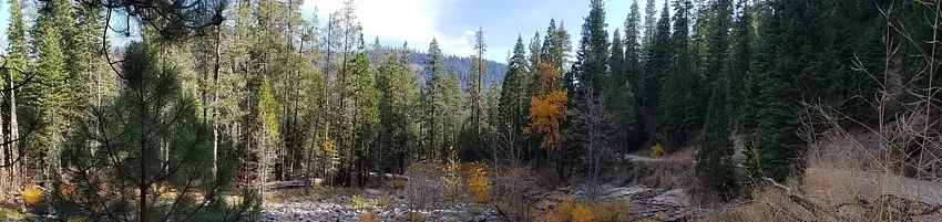
Ahart Campground is a serene retreat ideal for those seeking a rustic camping experience away from crowds, featuring spacious, well-maintained sites near a calming stream. While amenities are limited—no water source, showers, or electricity—each site includes essential features like picnic tables and bear boxes. The campground's natural beauty, clean facilities, and opportunity for stargazing make it a perfect choice for nature lovers, though visitors should prepare for self-sufficiency and potential noise from nearby campers.
Review Summary
Ben L
VerifiedJuly 19, 2020 • Stayed at: 5, Loop: B
The main thing I have to share is the route. Google maps told us to take a dirt road down from highway 80. DO NOT TAKE THIS ROAD. In a lifetime of dumb decisions, this one stands out as a top-3 terrible choice. The “road” is a washed-out cliffside rubble path that I wouldn’t wish on a jeep, much less our little soldier RAV4. It took us two and a half hours of crawling over boulders at .2 mph and by the time it was over we were both pretty shell shocked. Once we got to the site we found a paved road just around the corner that came from Auburn. It’s windy and it takes forever but it’s scenic and it’s straight up bliss compared to that demon path we drove over from 80. Come from Auburn.
KIMBERLEE B
VerifiedAugust 1, 2020 • Stayed at: 7, Loop: B
Terrible
KIMBERLEE B
VerifiedAugust 1, 2020 • Stayed at: 7, Loop: B
Terrible
KIMBERLEE B
VerifiedAugust 1, 2020 • Stayed at: 7, Loop: B
Terrible
Jill M
VerifiedAugust 31, 2020 • Stayed at: 4, Loop: A
It was a long scary drive to get to this campsite, but one of the nicest places we have ever been.
Jill M
VerifiedAugust 31, 2020 • Stayed at: 4, Loop: A
It was a long scary drive to get to this campsite, but one of the nicest places we have ever been.
Jill M
VerifiedAugust 31, 2020 • Stayed at: 4, Loop: A
It was a long scary drive to get to this campsite, but one of the nicest places we have ever been.
Eric S
VerifiedOctober 3, 2021 • Stayed at: 7, Loop: B
Great little campground. After walking around it most of the spots were quite flat and had a good amount of room. You could probably fit 2 tents on most of the sites. The river is just a short walk away but as was my case, it might be barely a trickle later in the summer dependent on the prior winter. The lake is super close too. Over all I would recommend Ahart.
Location & Directions for Ahart Campground
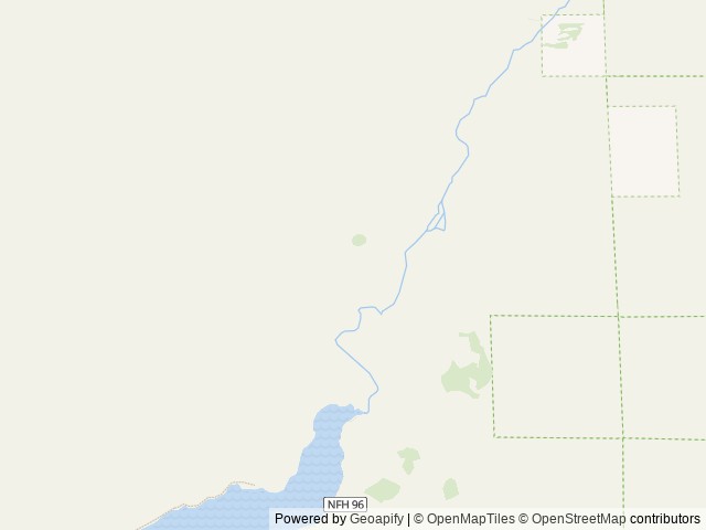
22830 Foresthill Road, Foresthill, CA 95631 United States
Elevation: 1,625 ft
Getting There
<p> High clearance vehicles may take Foresthill Rd to the 43 Rd (Robinson Flat Rd) to Mosquito Ridge Rd, snow permitting. Access from Soda Springs and the 43 Rd is not recommended for trucks with trailers, motorhomes/RV's or passenger vehicles th...
High clearance vehicles may take Foresthill Rd to the 43 Rd (Robinson Flat Rd) to Mosquito Ridge Rd, snow permitting. Access from Soda Springs and the 43 Rd is not recommended for trucks with trailers, motorhomes/RV's or passenger vehicles that are not high clearance vehicles with four wheel drive.
Highway access
The nearest major road access is via Foresthill Rd, which connects to Mosquito Ridge Rd. There are no interstates or major highways within approximately 25 miles.
Policies & Rules
Cancellation policy
- Reservation fees are non-refundable. For campsites, cabins, lookouts, yurts, group sites, and similar stays, we charge a reservation service fee of $8.
- Standard cancellations usually have a $10 cancellation fee. Customers can generally cancel before the check-in date online.
- Late cancellation rules differ by stay type.
- Individual campsites: cancelling after 12:00am local time the day before arrival usually means a $10 cancellation fee plus forfeiting the first night's fee.
- Cabins, lookouts, and yurts: cancelling less than 14 days before arrival usually means a $10 cancellation fee plus forfeiting the first night's fee.
- One-night reservations: a late cancellation usually forfeits the full amount paid, up to the total original reservation cost.
- Modifications are allowed before the cut-off window, but fees depend on the change. Changing to dates completely outside the original reservation dates may trigger a $10 change fee. Extending or shortening a stay that still includes original dates usually has no change fee, though refunds may depend on timing and facility rules. Switching to the same type of campsite for the same dates usually has no change fee, but price differences are charged or refunded.
- Early departures may or may not be refunded. At certain facilities, partial refunds may be possible if staff can mark the site available for other visitors. No refund is given for a night if the early departure is requested after that day's check-out time.
- Security deposits are separate. Security deposits may be refunded to the original payment method if the facility is left in acceptable condition, as determined by the property.
Vehicles & parking
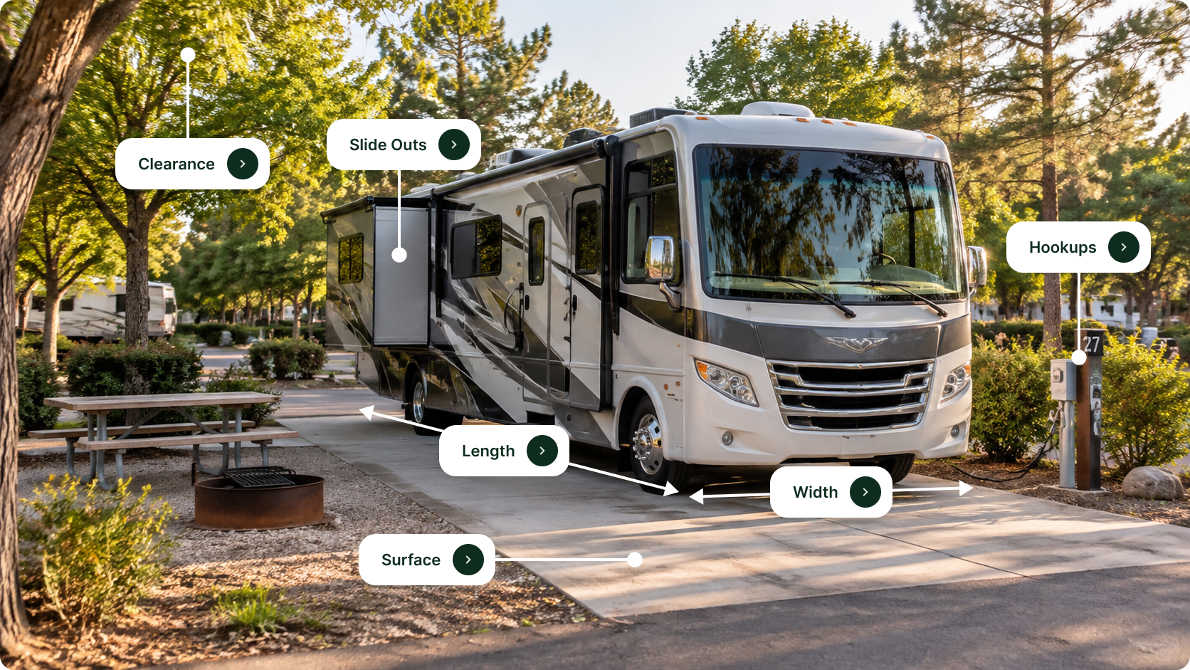
- Large RVs may not navigate the campground roads; check vehicle size before arrival.
Nearby Campgrounds


Nearby destinations
Last updated: October 21, 2026

Need help?
Our team is here to help you find the perfect spot for your next adventure.
Replies within minutes
Explore Foresthill, CA
Population: 1,483
Elevation: 3,228 ft
From our Travel Guides