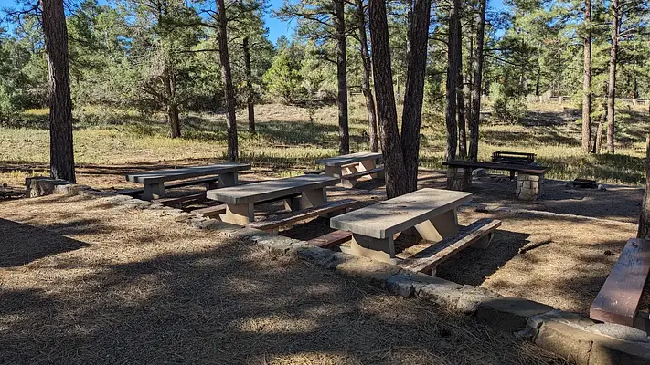


About Pine Flat Picnic Sites - a and B
Seasonal information
2026 Season availability
Reviews (4)
Review Summary
Albert S
October 21, 2023
Our group spent an enjoyable morning here. Except for a brief time when a group of motorcyclists were gathering and revving, it was generally quiet. Facilities were adequately clean and maintained.
Albert S
October 21, 2023
Our group spent an enjoyable morning here. Except for a brief time when a group of motorcyclists were gathering and revving, it was generally quiet. Facilities were adequately clean and maintained.
Terry P
October 7, 2023
Our group had a great time, 75 people. We go for a breakfast get-together. There is no place to pick an 8am to 1 pm time, but we had no issues with other people. To bad no water or restrooms with running water. A gazebo would a nice addition.
Terry P
October 7, 2023
Our group had a great time, 75 people. We go for a breakfast get-together. There is no place to pick an 8am to 1 pm time, but we had no issues with other people. To bad no water or restrooms with running water. A gazebo would a nice addition.
Location Pine Flat Picnic Sites - a and B
Address:
Sandia Ranger District
Tijeras, NM, 87059
United States
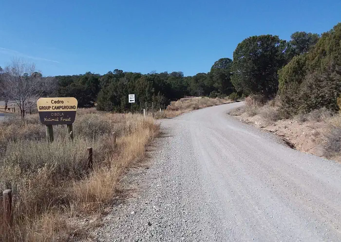
From Albuquerque, drive east on I-40 to Tijeras Exit 175; at the traffic light drive straight ahead and continue south for 7 miles on State Road 337 (James McGrane Memorial Highway). Look for the Cibola National Forest - Pine Flat Picnic sign on the east side of the road. As you enter the picnic site, look to your left. There you will find both reserve only sites A and B.
Pine Flat Picnic Sites is accessible via I-40, with Tijeras Exit 175 providing direct access to State Road 337 (James McGrane Memorial Highway), which leads south for 7 miles to the campground.
Latitude & Longitude: 35.0133 / -106.336
Elevation: 2211 feet
Policies & Rules
Arrival & departure
- Reservations should be made at least 48 hours in advance for site preparation.
- Contact the Sandia Ranger District for questions during office hours.
Site capacity
- Separate bookings are required for sites A and B.
Safety & rules
- All trash must be disposed of in provided trash cans.
Utilities
- No water or electricity is available; bring your own water.
Vehicles & parking
- Parking in front of gates is prohibited.
Wildlife & food storage
- Bear-proof trash receptacles and vault toilets are provided; use proper containers for food and garbage.
Fires & fuel
- Firewood should be obtained locally and burned on-site to prevent pest spread.
Amenities
- A trail map is available for the area.
Local regulations
- More information is available on the Cibola National Forest website.
Nearby Campgrounds
Nearby destinations
Last updated: July 11, 2026