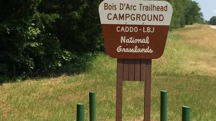

About Bois D' Arc
Activities & Attractions
Nearby

Fishing

Hiking
Year-round
Fishing
Hiking
Seasonal information
2026 Season availability
Open year round
This campground is open year round, providing flexibility for your stay.
Campground Amenities

Water and Hygiene
- Potable Water
Reviews (3)
What Guests Are Saying
Bois D' Arc is a great camping destination, offering a positive overall experience. While some road noise is present, it does not detract significantly from the enjoyment. The only drawback noted is the absence of a dump station.
What Guests Are Saying
Bois D' Arc is a great camping destination, offering a positive overall experience. While some road noise is present, it does not detract significantly from the enjoyment. The only drawback noted is the absence of a dump station.
Review Summary
Allison P
April 19, 2026
Great place to camp, a little road noise.
Gary W
November 29, 2025
Great park !! The only thing missing is a dump station.
Sean M
December 4, 2023
Loved the camp site and enjoyed walking the trails
Location & Directions for Bois D' Arc
Caddo Lbj National Grasslands, Decatur, TX 76234 United States
Elevation: 169 ft
Getting There
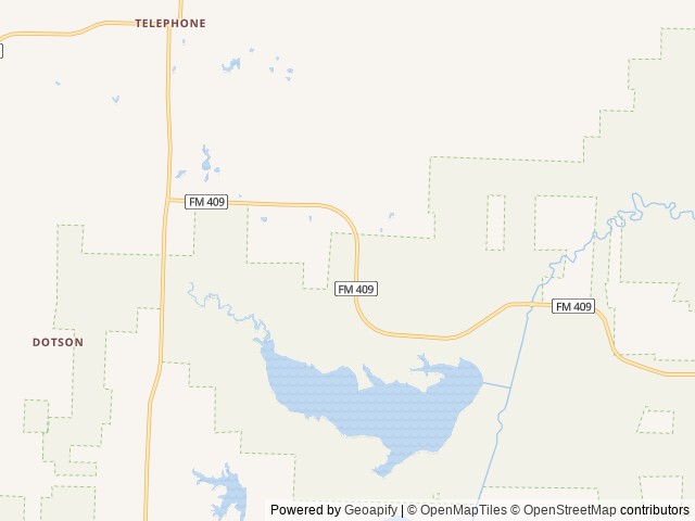
From Honey Grove, turn north on FM 100 and travel 12 mi. Turn left (west) on FM 409 and go 5½ miles, turn left into trailhead.
Highway access
The campground is accessible via FM 100 and FM 409. The nearest major road is US Highway 82, located approximately 12 miles to the south.
Nearby Campgrounds


Nearby destinations
Last updated: October 7, 2026

Need help?
Our team is here to help you find the perfect spot for your next adventure.
Replies within minutes
Explore Decatur, TX
Population: 7,426
Elevation: 1,102 ft
From our Travel Guides