Top Campgrounds near Bunkerville
Popular Filters
Mesquite Trails RV Resort
Solstice Motorcoach Resort
Solstice Motorcoach RV Resort offers a scenic retreat for motor coach enthusiasts, featuring stunning mountain views, community parks, and a clubhouse. Guests can enjoy nearby world-class golf courses and benefit from the adjacent Mesquite Regiona...
Sun Resorts RV Park
Paiute Wilderness Area
The Paiute Wilderness Area spans 87,900 acres southwest of St. George, Utah, featuring the Virgin Mountains and the highest peak, Mt. Bangs, at 8,012 feet. It boasts diverse vegetation and is home to over 250 animal species. The area prohibits mot...
Aravada Springs Campground
Virgin River Canyon Recreation Area
The Virgin River Canyon Recreation Area, situated along Interstate 15, offers camping and recreation options with 25 reservable sites and 83 first-come, first-served sites. Overnight fees are $8 per site per night, while day-use costs $2 per vehic...
Palm Creek Ranch
Palm Creek RV Park
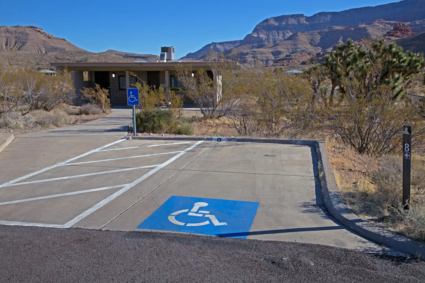
Atlatl Rock Campground
Hidden Springs RV Resort
Echo Bay Campground
Echo Bay Campground, located in the northern part of Lake Mead, is open year-round and offers paved sites for tents or RVs, equipped with tables and fire pits. The campground features restrooms and water spigots, with temperatures exceeding 100°F ...
McArthur's Temple View RV Resort
Southern Utah RV Resort
Settlers Point Luxury RV Resort
Jellystone Park™ Zion
Zions Gate RV Resort
Zions Gate RV Resort, located near Zions National Park in southern Utah, offers access to stunning canyons, hiking, and nearby golf and boating activities. The resort features amenities like a heated indoor pool, hot tub, clubhouse, and laundry fa...
St. George / Hurricane KOA Journey
Mathews Canyon Dam
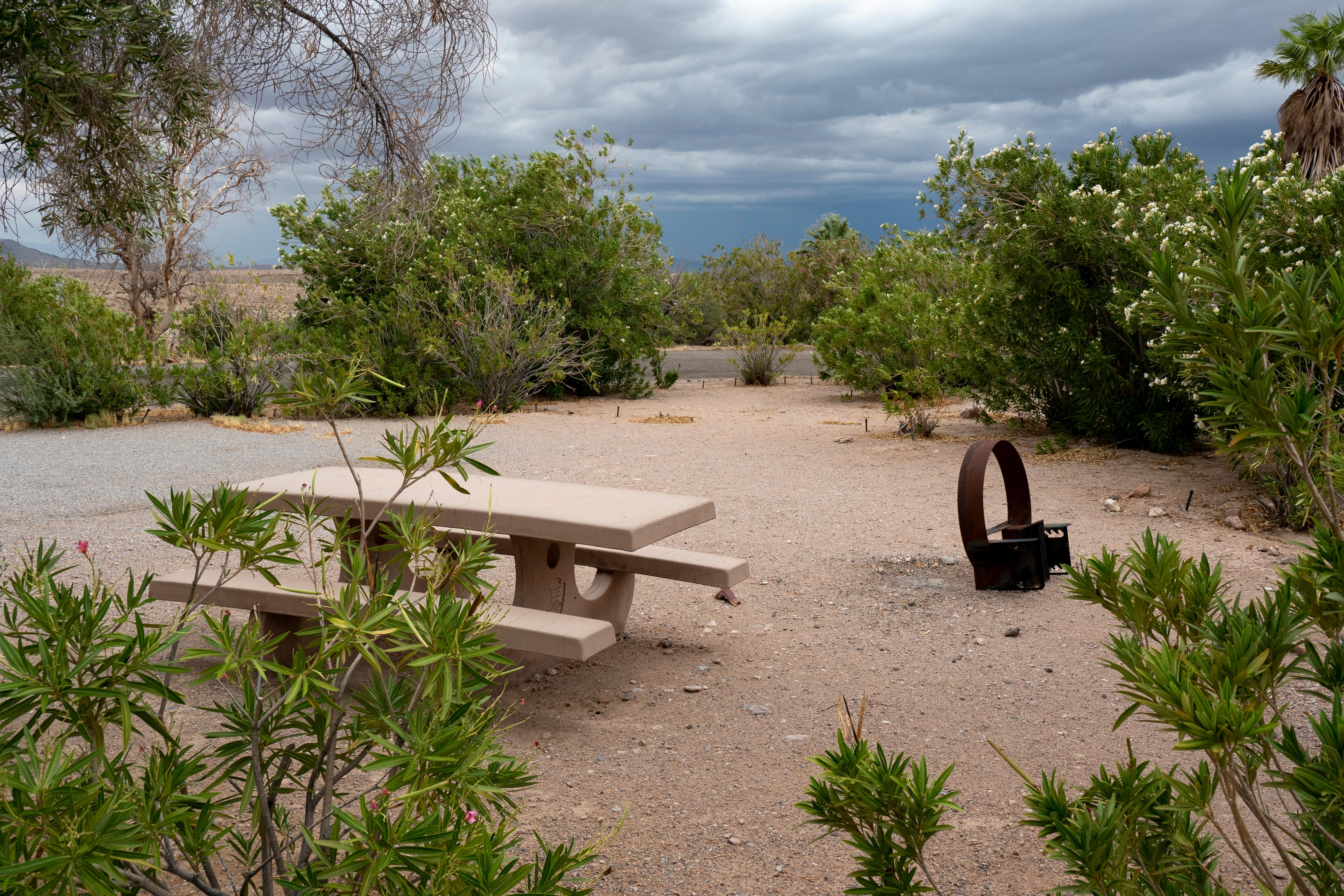
Mathews Canyon Dam is an Army Corps of Engineers flood control dam designed for the railroad. It features amenities like shade structures, picnic tables, grills, fire pits, garbage cans, and vault toilets. The site serves both practical and recrea...
Red Cliffs Campground
Red Cliffs Recreation Area features a campground, day use areas, and a non-motorized trail system, showcasing dinosaur footprints and the historical presence of Ancestral Puebloans and 19th-century pioneers. The area is situated within the Red Cli...

Color Canyon RV Resort
Color Canyon RV Resort offers spacious full-hookup RV sites with various sizes and amenities, including picnic tables and ample room for relaxation. Guests can enjoy clean restrooms, hot showers, laundry facilities, high-speed Wi-Fi, a clubhouse, ...
Popular Filters
Mesquite Trails RV Resort
Solstice Motorcoach Resort
Solstice Motorcoach RV Resort offers a scenic retreat for motor coach enthusiasts, featuring stunning mountain views, community parks, and a clubhouse. Guests can enjoy nearby world-class golf courses and benefit from the adjacent Mesquite Regiona...
Sun Resorts RV Park
Paiute Wilderness Area
The Paiute Wilderness Area spans 87,900 acres southwest of St. George, Utah, featuring the Virgin Mountains and the highest peak, Mt. Bangs, at 8,012 feet. It boasts diverse vegetation and is home to over 250 animal species. The area prohibits mot...
Aravada Springs Campground
Virgin River Canyon Recreation Area
The Virgin River Canyon Recreation Area, situated along Interstate 15, offers camping and recreation options with 25 reservable sites and 83 first-come, first-served sites. Overnight fees are $8 per site per night, while day-use costs $2 per vehic...
Palm Creek Ranch
Palm Creek RV Park
Atlatl Rock Campground
Hidden Springs RV Resort
Echo Bay Campground
Echo Bay Campground, located in the northern part of Lake Mead, is open year-round and offers paved sites for tents or RVs, equipped with tables and fire pits. The campground features restrooms and water spigots, with temperatures exceeding 100°F ...
McArthur's Temple View RV Resort
Southern Utah RV Resort
Settlers Point Luxury RV Resort
Jellystone Park™ Zion
Zions Gate RV Resort
Zions Gate RV Resort, located near Zions National Park in southern Utah, offers access to stunning canyons, hiking, and nearby golf and boating activities. The resort features amenities like a heated indoor pool, hot tub, clubhouse, and laundry fa...
St. George / Hurricane KOA Journey
Mathews Canyon Dam
Mathews Canyon Dam is an Army Corps of Engineers flood control dam designed for the railroad. It features amenities like shade structures, picnic tables, grills, fire pits, garbage cans, and vault toilets. The site serves both practical and recrea...
Red Cliffs Campground
Red Cliffs Recreation Area features a campground, day use areas, and a non-motorized trail system, showcasing dinosaur footprints and the historical presence of Ancestral Puebloans and 19th-century pioneers. The area is situated within the Red Cli...
Color Canyon RV Resort
Color Canyon RV Resort offers spacious full-hookup RV sites with various sizes and amenities, including picnic tables and ample room for relaxation. Guests can enjoy clean restrooms, hot showers, laundry facilities, high-speed Wi-Fi, a clubhouse, ...
Bunkerville, Nevada
Find your perfect stay
The best deals for public & private campgrounds
Check availability & reserve your stay directly
Protect yourself from severe weather events
Frequently Asked Questions
Bunkerville has 52 campgrounds and RV parks listed on OutReserve, ranging from full-hookup RV sites to rustic tent camping. Based on guest ratings, Mesquite Trails RV Resort is one of the top-rated options. Use our map view to find the closest options to the city center or your preferred area.
Campgrounds near Bunkerville vary in distance from the city center. Use our map view to filter by location and find the most convenient option for your trip.
Many campgrounds near Bunkerville welcome pets. Virgin River Canyon Recreation Area is a great pet-friendly option. Use the pet-friendly filter on our search page to find more properties that accommodate your furry companions.
Most destinations offer a variety of accommodations including tent sites, RV sites, cabins, yurts, and glamping options. Check individual property listings for specific amenities and site types.
The best time to visit depends on your preferences and planned activities. Spring and fall typically offer mild weather and fewer crowds, while summer is peak season with the warmest temperatures. Winter visits can be great for those seeking solitude and winter activities.
Nearby cities
List your Campground, RV Park or Resort near Bunkerville on OutReserve
Do you own a campground or RV park near Bunkerville? List on OutReserve and connect with thousands of outdoor enthusiasts looking to stay in the area.
Free to List
Listing is completely free. You only pay a small commission when you receive a booking: no upfront costs, no hidden fees.
Reach Thousands
Connect with thousands of outdoor enthusiasts actively searching for their next camping adventure. Grow your bookings year-round.
Get Paid Fast
Receive payouts directly to your bank account after each stay. Fast, secure, and reliable so you can focus on your guests.